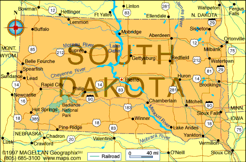
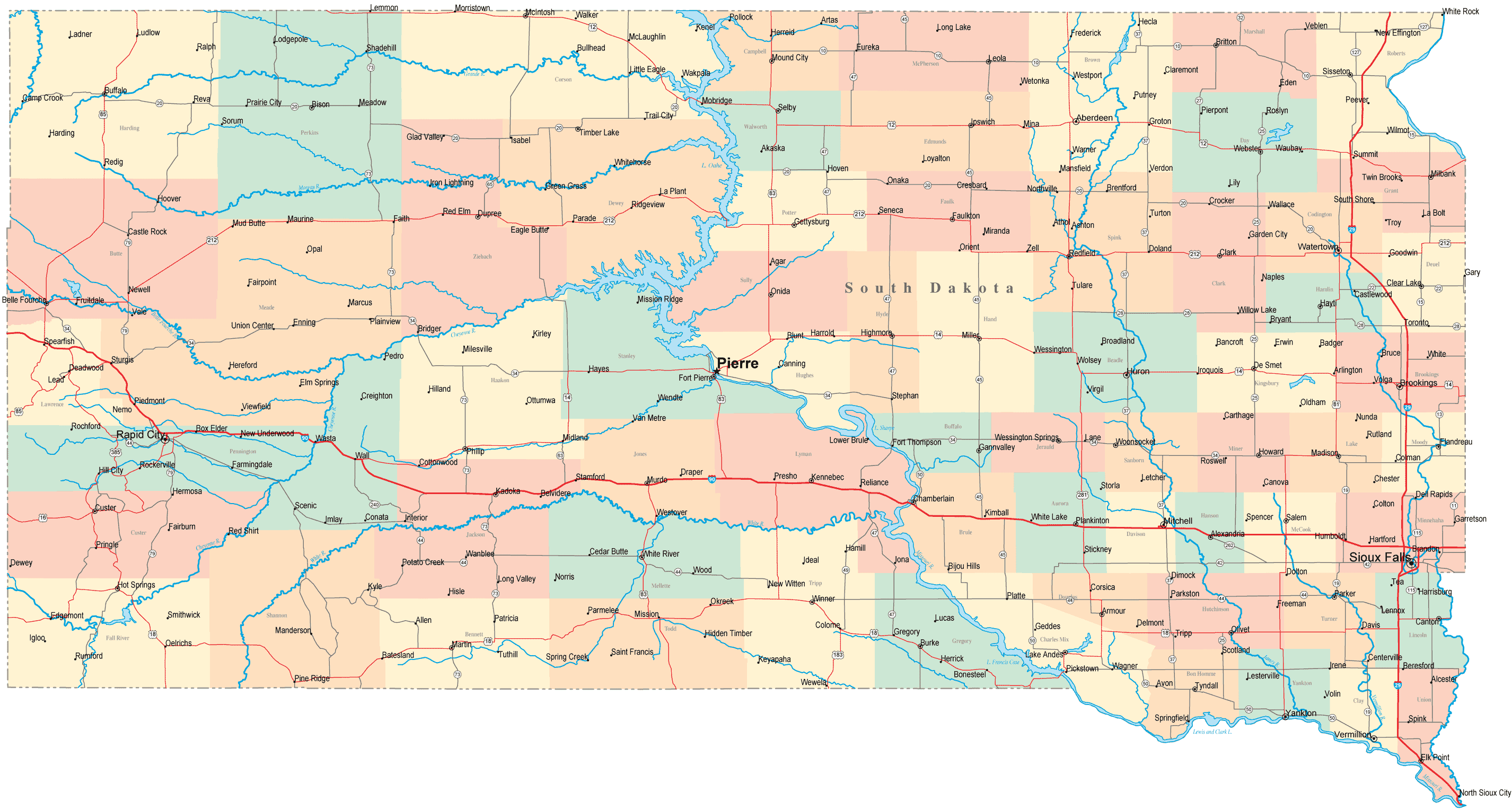
Map of South Dakota Cities - South Dakota Road Map

South Dakota (Listeni/ˌsaʊθ dəˈkoʊtə/; locally [ˌsɑʊθ
dəˈko̞ɾə]) is a state located in the Midwestern region of the United States. It
is named after the Lakota and Dakota Sioux Native American tribes. South Dakota
is the 17th most extensive, but the 5th least populous and the 5th least
densely populated of the 50 United States. Once the southern portion of the
Dakota Territory, South Dakota became a state on November 2, 1889,
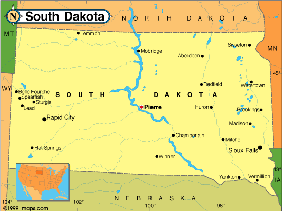
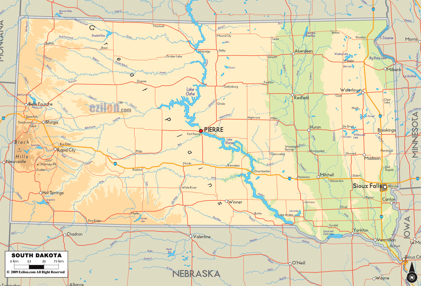
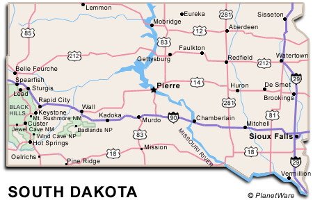
simultaneously with North Dakota. Pierre is the state capital and Sioux Falls,
with a population of about 165,000, is South Dakota's largest city.
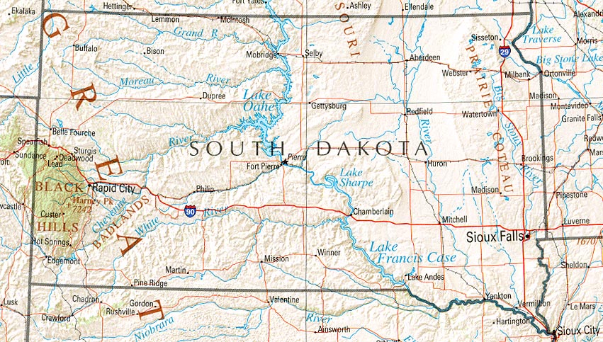
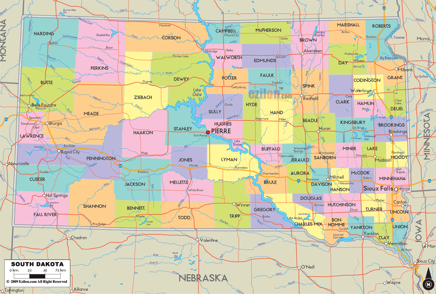
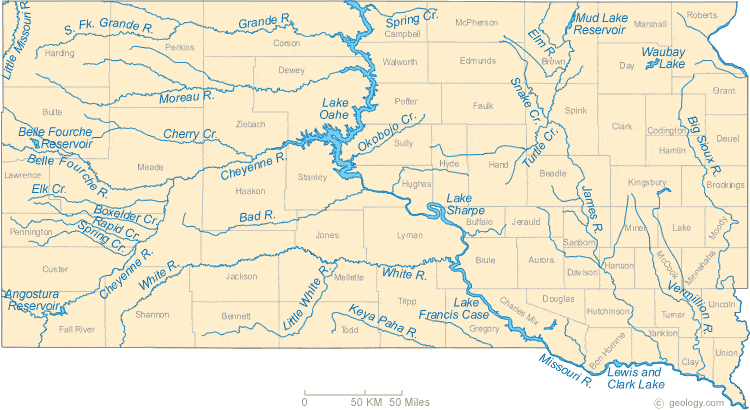
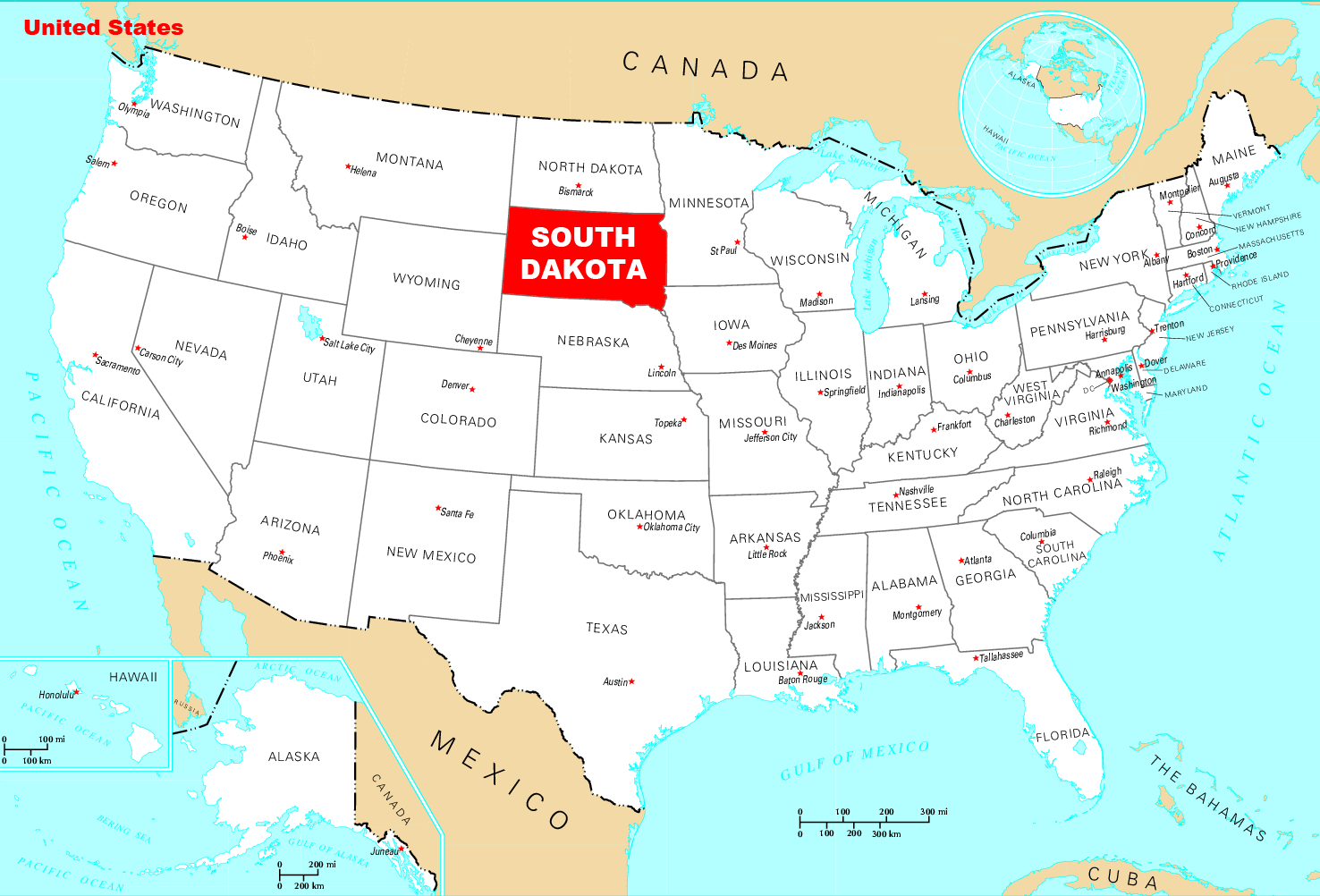
South Dakota is bordered by the states of North Dakota,
Minnesota, Iowa, Nebraska, Wyoming, and Montana. The state is bisected by the
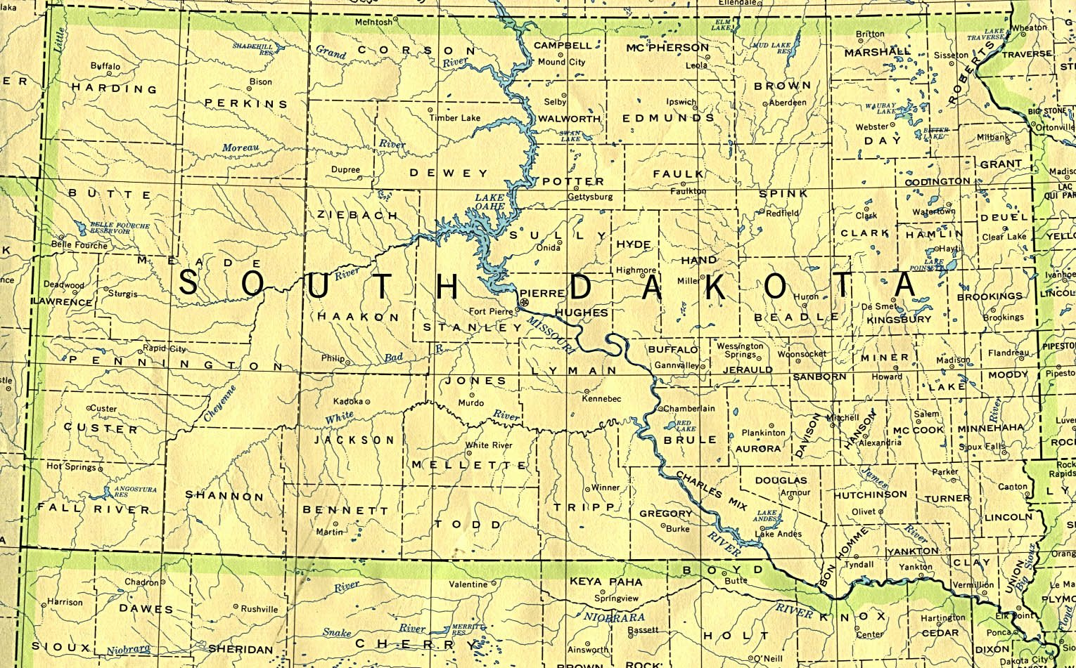
Missouri River, dividing South Dakota into two geographically and socially
distinct halves, known to residents as "East River" and "West
River".[7] Eastern South Dakota is home to most of the state's population,
and fertile soil in this area is used to grow a variety of crops. West of the
Missouri, ranching is the predominant agricultural activity, and the economy is
more dependent on tourism and defense spending. The Black Hills, a group of low
pine-covered mountains sacred to the Sioux, are located in the southwest part
of the state. Mount Rushmore, a major tourist destination, is located there.
South Dakota experiences a temperate continental climate, with four distinct
seasons and precipitation ranging from moderate in the east to semi-arid in the
west. The ecology of the state features species typical of a North American
grassland biome.
Atlas: South Dakota
Humans have inhabited the area for several millennia, with the Sioux becoming dominant by the early 19th century. In the late 19th century, European-American settlement intensified after a gold rush in the Black Hills and the construction of railroads from the east. Encroaching miners and settlers triggered a number of Indian wars, ending with the Wounded Knee Massacre in 1890. Key events in the 20th century included the Dust Bowl and Great Depression, increased federal spending during the 1940s and 50s for agriculture and defense, and an industrialization of agriculture which has much reduced family farming.
While several Democratic senators have represented South Dakota for multiple terms at the federal level, the state government is largely controlled by the Republican Party, whose nominees have carried South Dakota in each of the last 12 presidential elections. Historically dominated by an agricultural economy and a rural lifestyle, South Dakota has recently sought to diversify its economy in areas to attract and retain residents. South Dakota's history and rural character still strongly influence the culture of the state.
South Dakota Maps - Perry-Castañeda Map Collection - UT ...
South Dakota Map | Map of South Dakota (SD)

South Dakota Maps - Perry-Castañeda Map Collection - UT ...

South Dakota Highway and Road Map (raster image version ...

SouthDakota.jpg

Political Map of South Dakota - Ezilon Maps
South Dakota Base and Elevation Maps
South Dakota - Wikipedia, the free encyclopedia

South-Dakota-printable-map-881.jpg

Map of South Dakota
Physical Map of South Dakota - Ezilon Maps
South Dakota Travel Guide | PlanetWare
South Dakota Road Map - SD Road Map - South Dakota Highway Map
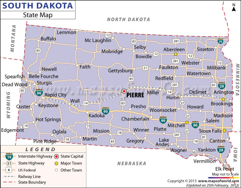
South Dakota State Map
South Dakota Map | Map of South Dakota

South Dakota County Map

South Dakota County Map • Mapsof.net


0 Komentar untuk "South Dakota"